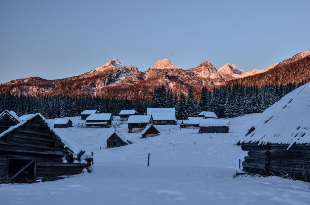
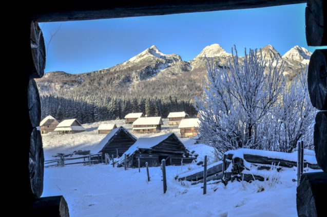
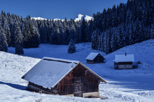
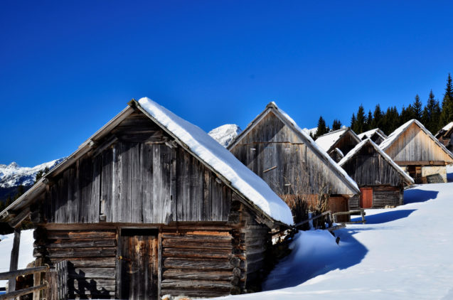
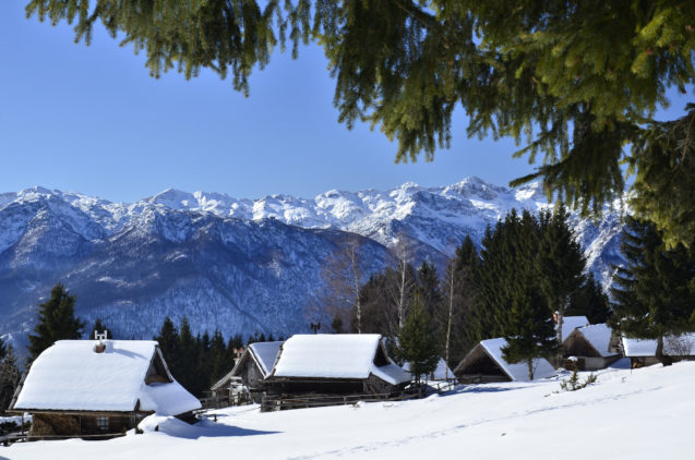
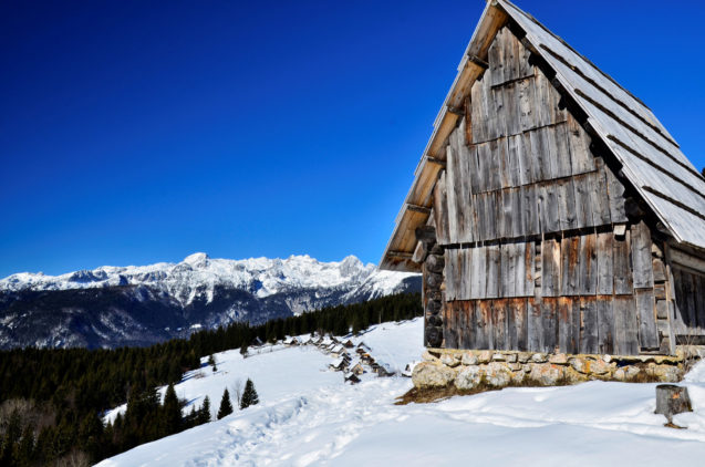
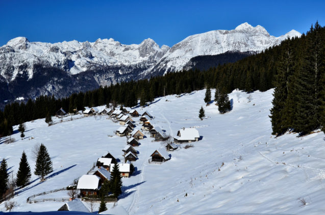
Pokljuka is a 20 km long and 18 km wide alpine plateau located in the Triglav National Park between Bled and Bohinj. It is covered with pine tree forests and pastures and spans on the altitude which ranges from 1100 to 1400 m above the sea level. One of its appealing points is certainly the cattle, still grazing on its pastures during the summer season. The shepherds of these pastures will provide you with sour milk, curd and cheese. The shingle-covered wooden cottages represent the characteristic feature of the Pokljuka mountain pastures and were once used by the shepherds as their homes and the place to make sour milk and other dairy products.
Pokljuka Plateau offers numerous sports opportunities. The plateau represents a perfect starting point for mountaineering, whilst the cyclists enjoy its beautiful nature, low motor vehicle transport volume and somewhat more demanding nearby ascents. During the winter season it turns into a very popular cross-country skiing destination which also hosts international biathlon competitions.
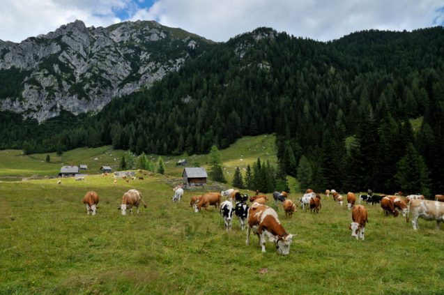
Pokljuka is an alpine plateau located in Triglav National Park, between Bohinj and Bled. (photo: Ales Zdesar / slovenia.info)
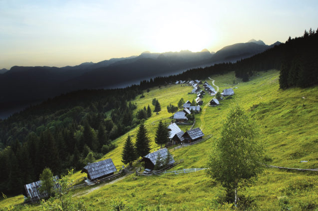
One of the most beautiful places on the Pokljuka plateau is the Zajamniki mountain pasture with well preserved shepherds’ huts. (photo: Tomo Jesenicnik / slovenia.info)
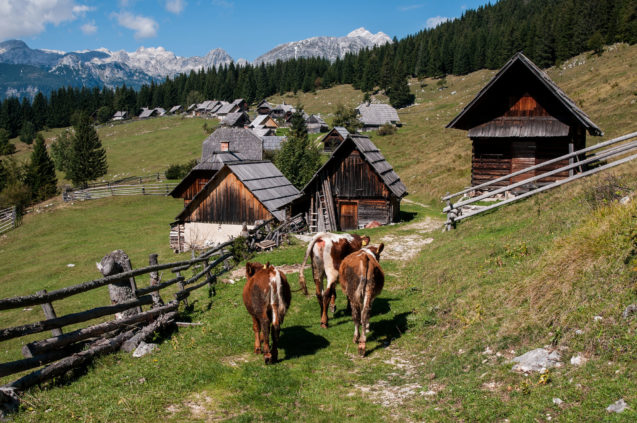
Blissfully rural and tucked away from the main tourist attractions in the area, Pokljuka is an excellent destination to relax and slow down. (photo: Ales Zdesar / slovenia.info)
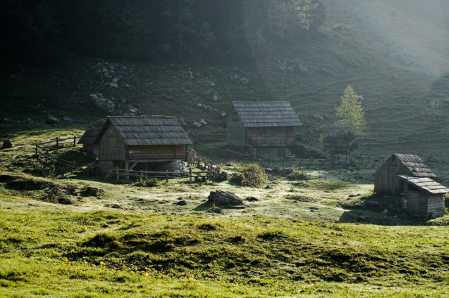
Traditional wooden cottages and mountain pastures dot the plateau. (photo: Ales Zdesar / slovenia.info)
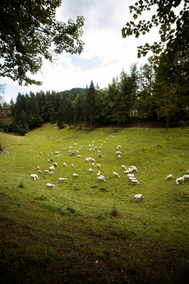
Pokljuka’s beauty isn’t mass-marketed. (photo: Alex Strohl / slovenia.info)
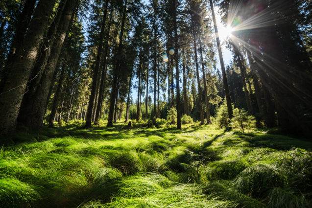
Given the remoteness of Pokljuka, you’ll definitely need a car to explore it. (photo: Ales Zdesar / slovenia.info)
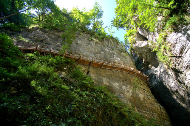
Pokljuka Gorge is a hidden and refreshing gem during the summer. A lot of people bypass it on their way to the Pokljuka plateau but it is definitely worth making the short detour. (photo: Ales Zdesar / slovenia.info)
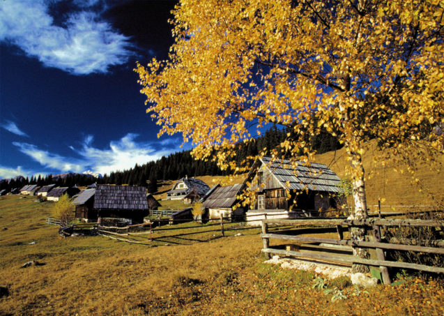
In summer, it’s possible to purchase dairy products from the cottages. (photo: Bobo / slovenia.info)
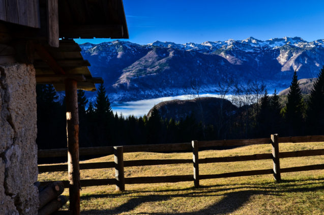
With the Slovenian Alps as a backdrop, it’s hard to compete with this place. It’s picture perfect! (photo: Bojan Kolman)
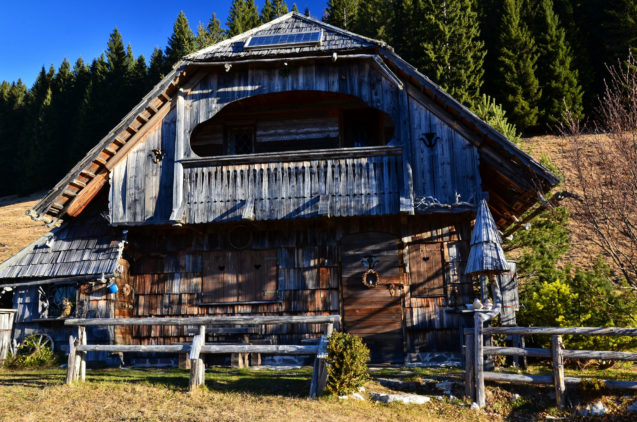
Traditionally, these wooden cottages and huts were the summer residences of dairy-farmers and herdsmen tending to their cattle. (photo: Bojan Kolman)
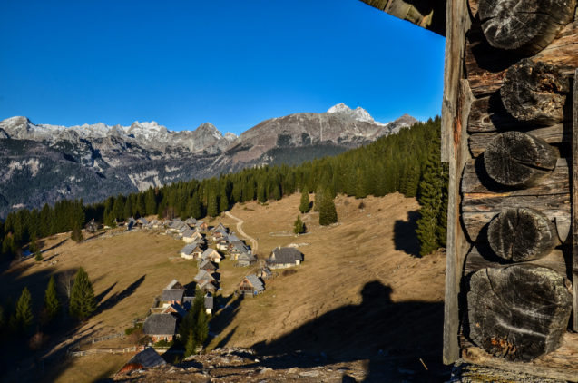
Planina Zajamniki is a charming alpine pasture on Pokljuka. Over thirty shingle-covered wooden cottages stretch out linearly across the open pasture. (photo: Bojan Kolman)
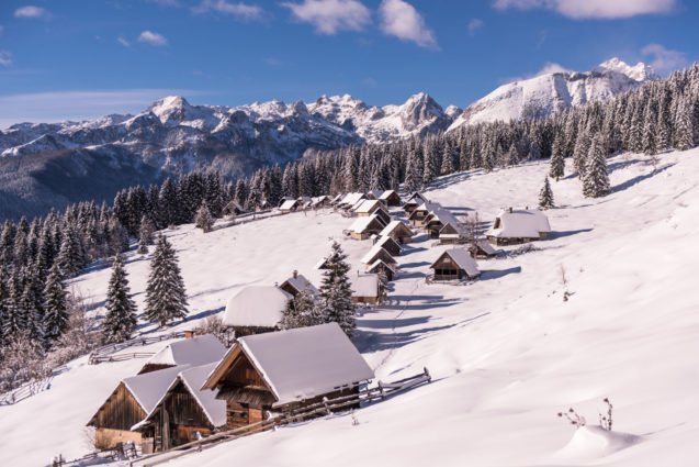
You can mountain bike, hike, or cross-country ski to Planina Zajamniki at an elevation od 1,313 meters. (photo: Iztok Medja / slovenia.info)
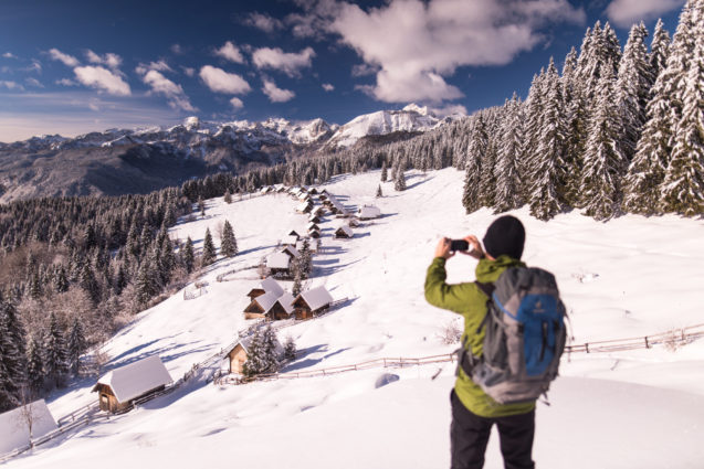
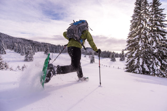
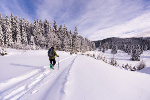
From December to April, Pokljuka is the place to be for winter and snow lovers. (photo: Iztok Medja / slovenia.info)
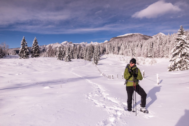
The forests and meadows of the Pokljuka Plateau offer plenty of walking trails and winter-sports facilities. (photo: Iztok Medja / slovenia.info)
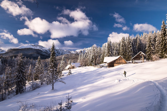
The snow-covered Pokljuka Plateau is a true magnet for activities on the snow. (photo: Iztok Medja / slovenia.info)
(photo: Iztok Medja / slovenia.info)
(photo: Iztok Medja / slovenia.info)
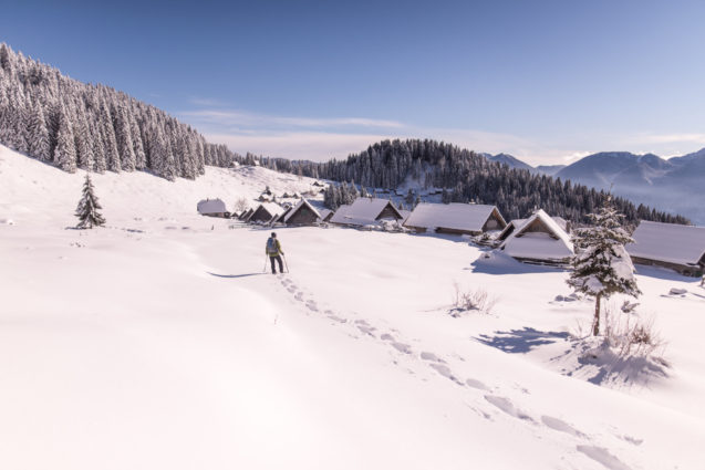
(photo: Iztok Medja / slovenia.info)
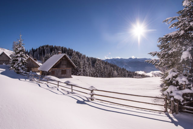
(photo: Iztok Medja / slovenia.info)
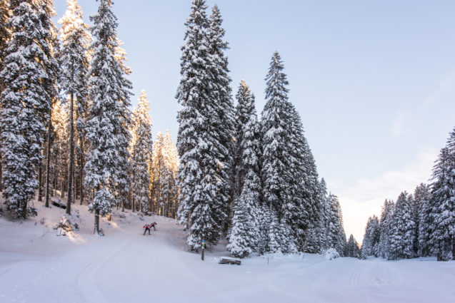
(photo: Iztok Medja / slovenia.info)
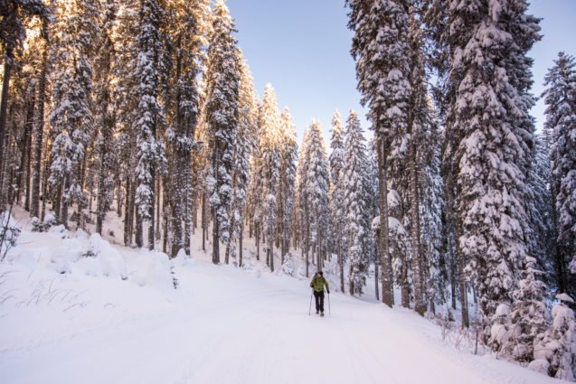
(photo: Iztok Medja / slovenia.info)
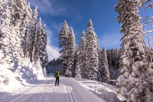
(photo: Iztok Medja / slovenia.info)
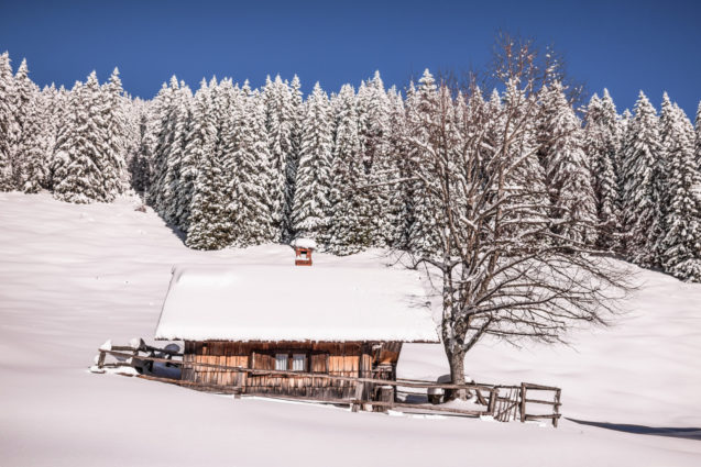
(photo: Iztok Medja / slovenia.info)
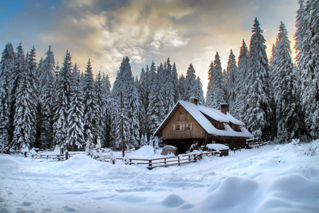
(photo: Ana Pogacar / slovenia.info)
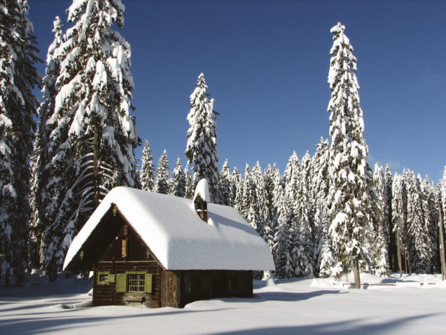
(photo: Simon Krzic / slovenia.info)
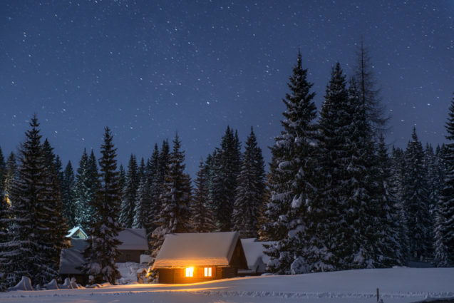
(photo: Iztok Medja / slovenia.info)
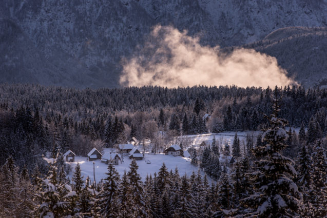
(photo: Iztok Medja / slovenia.info)
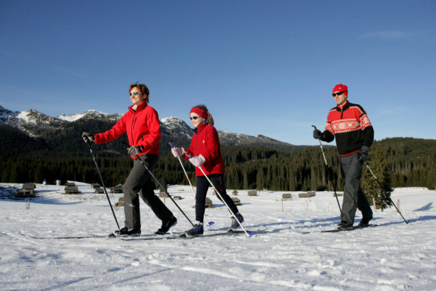
Pokljuka is the perfect place for all lovers of cross-country skiing. Over 30 kilometres of regularly maintained cross-country trails connect various parts of the plateau. (photo: Ales Fevzer / slovenia.info)
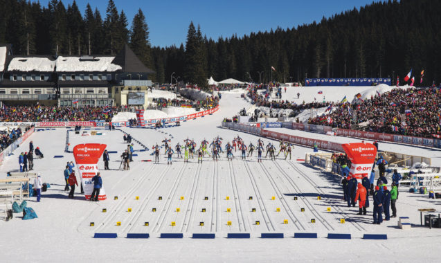
Pokljuka is one of the best known Slovenian plateaus, because it hosts world famous biathlon competitions. There is a sports centre at Rudno polje, which is known as a venue of biathlon world cup competitions. (photo: Ales Fevzer / slovenia.info)
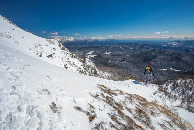
Another Pokljuka trail to consider is Rudno Polje to Mount Visevnik. It takes about 2 hours (one-way) along a well-marked path to reach Visevnik peak. The elevation gain is 703 meters. It’s considered one of the most accessible high peaks in the Slovenian Alps. (photo: Jost Gantar / slovenia.info)
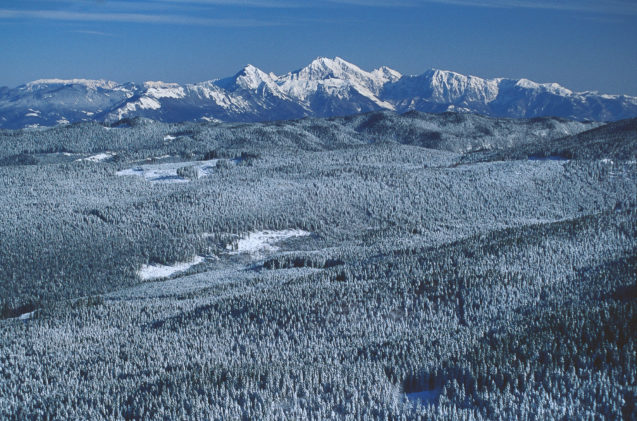
nn. (photo: Janez Skok / slovenia.info)
Address: Srednja vas v Bohinju 165/a, 4267 Srednja vas v Bohinju, Slovenia
Pokljuka plateau Latitude and Longitude Coordinates: 46.34490, 13.92220
Pokljuka plateau GPS coordinates: 46° 20′ 41.6508” N 13° 55′ 19.9488” E
Traditional region: Upper Carniola (Slovene: Gorenjska)
Municipalities: Bled, Bohinj, and Gorje
Directions from Apartments Fine Stay to Pokljuka plateau (drive 31 km, 40 minutes)
Directions from Apartments Fine Stay Bled to to Pokljuka plateau (drive 21 km, 30 minutes)

