The Predil Pass or Predel Pass is a high mountain pass at an elevation of 1,156 meters on the border between Italy and Slovenia. The pass is located in the Julian Alps, between the peaks of Mount Mangart to the north and Mount Kanin to the south. It connects Cave del Predil, part of the Italian municipality of Tarvisio in the northwest, with the municipality of Bovec in the Upper Soca Valley in Slovenia.
Along the road to Predil Pass stands a stone pyramid with a bronze statue of dying lion. The memorial is dedicated to a squad of Austrian soldiers who bravely defended the fortress above the monument in the days of Napoleonic wars.
Predil Mountain Pass is located about an hour drive from the Bled area. Just drive to the town of Tarvisio (Italy), from where the pass can be accessed easily by driving in the direction of Bovec, Slovenia. The nearby mines and the beautiful Predil Lake are also interesting attractions to visit.
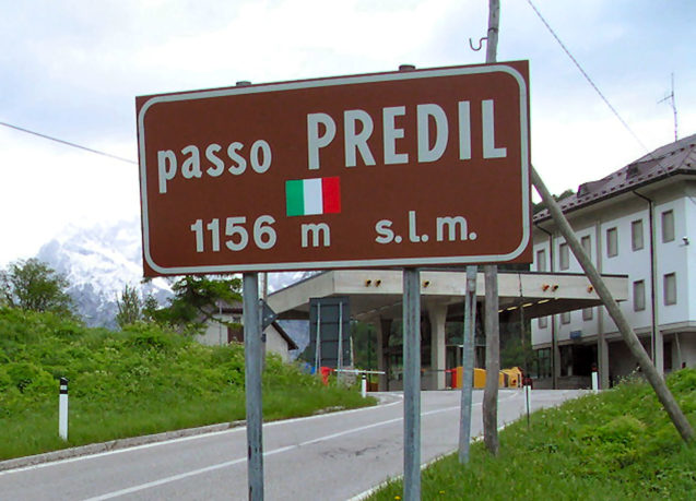
A road sign with the elevation of Predil Pass.
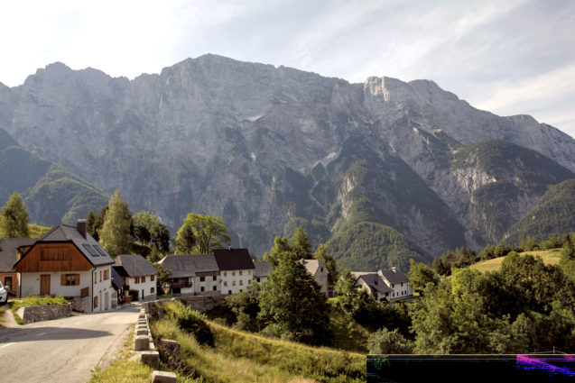
Road to the Predil Pass. (Image by Krists Luhaers / CC BY 2.0)
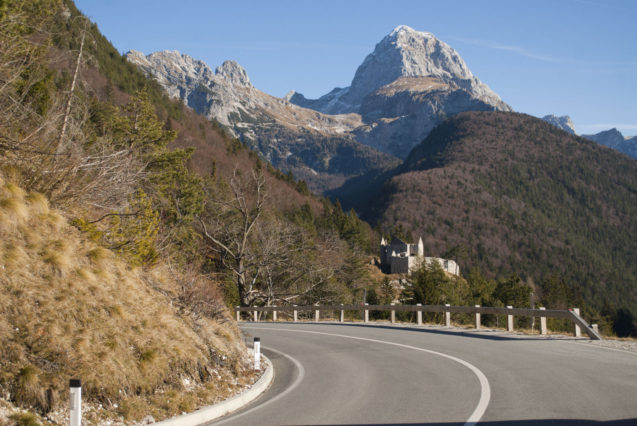
Fort Predel on the Predil Pass and the Mangart mountain in the background. (Image by Mihael Grmek / CC BY-SA 3.0)
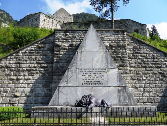
Along the road to Predel Pass stands a stone pyramid with a bronze statue of dying lion. The memorial is dedicated to a squad of Austrian soldiers who bravely defended the fortress above the monument in the days of Napoleonic wars. (Image by Doremo / CC BY-SA 3.0)
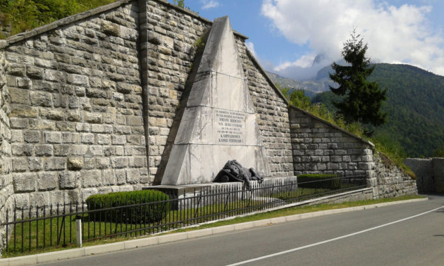
Austrian monument (1848, lion sculpture 1851) to troops killed at the Predil Pass in 1809. (Image by IlPasseggero / CC BY-SA 3.0)
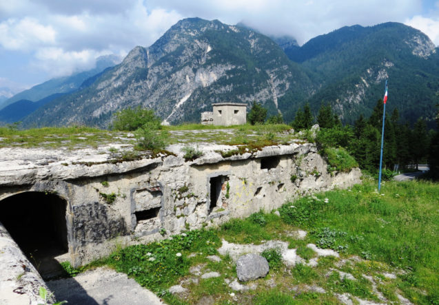
Fortification on the Italian side of the Predil Pass. (Image by Doremo / CC BY-SA 3.0)
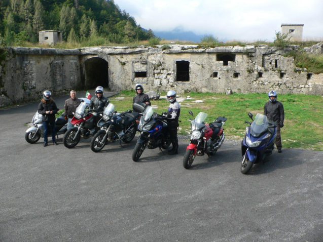
Winding road to the Predil Pass is very popular among motorcyclists. (Image by Giulio / CC BY-ND 2.0)
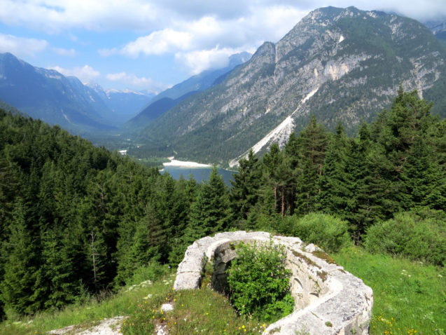
View of the Predil lake from the Predil mountain pass. (Image by Doremo / CC BY-SA 3.0)
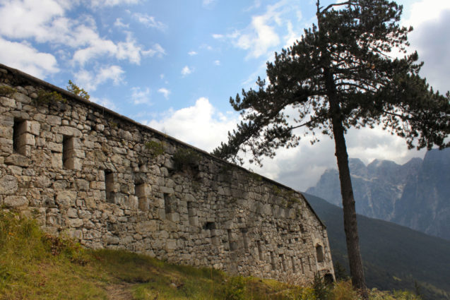
At Predil one can see the ruins of the Austrian fortress. (Image by Mariofan13 / CC BY-SA 4.0)
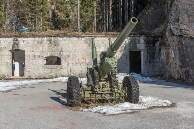
Howitzer in front of Fort Predil. (Image by Johann Jaritz / CC BY-SA 3.0)
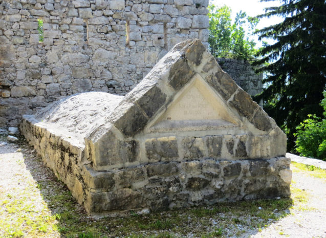
Grave of Austrian troops killed at the Predil Pass in 1809. (Image by Doremo / CC BY-SA 3.0)
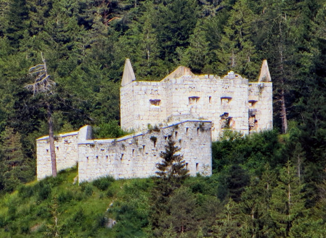
Austrian fort on the Slovenian side of the Predil Pass. (Image by Doremo / CC BY-SA 3.0)
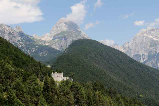
Surrounded by the pristine nature of the Triglav National Park, the Predel fortification was a part of the Carinthian fortification system. The first fortification was built during the Napoleonic wars. (Image by Lorenzo Magnis / CC BY-ND 2.0)
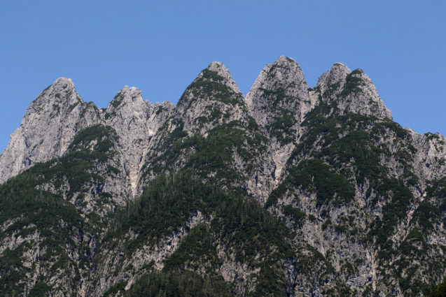
View of the Cinque Punte mountain from the road to the Predil Pass on the Italian side. (Image by Lorenzo Magnis / CC BY-ND 2.0)
Location:
Predil Mountain Pass Address: Strmec na Predelu 31, 5231 Log pod Mangartom, Slovenia
Predil Mountain Pass Latitude and Longitude Coordinates: 46.41862, 13.57866
Predil Mountain Pass GPS coordinates: 46° 25′ 6.9636” N 13° 34′ 43.2408” E
Directions from Apartments Fine Stay to the Predil Pass (drive 59 km, 62 minutes)
Directions from Apartments Fine Stay Bled to the Predil Pass (drive 68 km, 65 minutes)
